
QuteNav

For Sailors, app reviving, aarch64 and armv7hl(not tested) build of amazing app:
https://github.com/jusirkka/qutenav
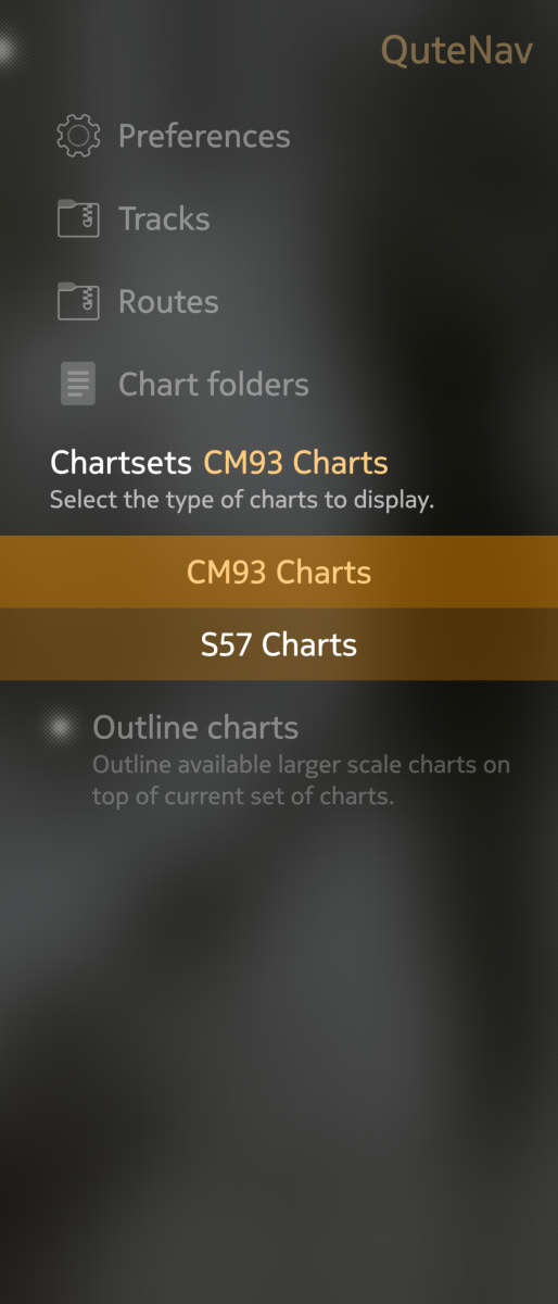
Offline vector marine chart plotter / navigator for SailfishOS and Linux. Marine chart plotter / navigator for Sailfish OS and Linux which draws it's inspiration from OpenCPN and Navionics Boating. QuteNav is not feature complete yet, see TODO file for missing but planned features. Only offline vector charts are supported, namely
- CM93v2 charts
- S57 charts
- OpenCPN/SENC charts
- OpenCPN/SENC encrypted charts (oesenc, oesu)
For sources of these charts, see the OpenCPN chart source page. The best way to download charts is to use OpenCPN and then copy downloaded maps.
(Raster maps just like KAP or mbtiles are NOT SUPPPORTED)
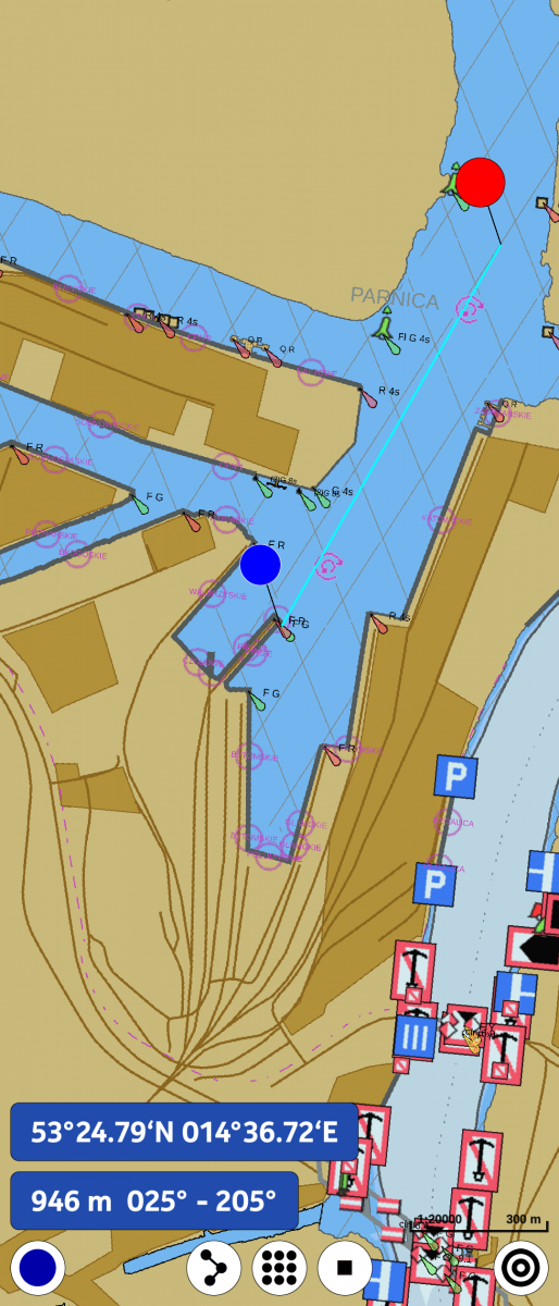
Screenshots:
Category:
Application versions:
| Attachment | Size | Date |
|---|---|---|
| 2.88 MB | 28/08/2025 - 20:26 | |
| 2.88 MB | 05/09/2025 - 19:54 | |
| 2.73 MB | 12/09/2025 - 22:55 |
Changelog:
* 2025-08-27 kan 0.51-2
- fix for info and route point tap
* 2025-08-27 kan 0.51-1
- first release at openrepos
Comments
PamNor
Sun, 2026/07/19 - 18:29
Permalink
Does not work on JP2 5.2.0.13.In terminal it reports.
[D] unknown:0 - Using Wayland-EGL
library "libselinux.so" not found
Could not open module param file '/sys/mod
ule/mali_kbase/parameters/large_page_conf'
[54140.908686] (harbour-qutenav) [MEMPROF]
Memory instrumentation via debugfs enabled
kan
Thu, 2026/07/23 - 00:33
Permalink
I am waiting for J2...
PamNor
Mon, 2025/09/15 - 18:37
Permalink
Installed and start OK. installed. Installed CM93 chart at ssd in folder. ...defaultuser/3363-3235/Kart/Cm93. Same folder i used when running old android app of opencpn. QuteNav not showing any map when on see. Terminal log prints Unknown chartset "none"
kan
Mon, 2025/09/15 - 18:57
Permalink
Have configured the folder in QuteNav?
DOTS -> Chart Folders -> Add
and thick "Full update" then 'Accept'
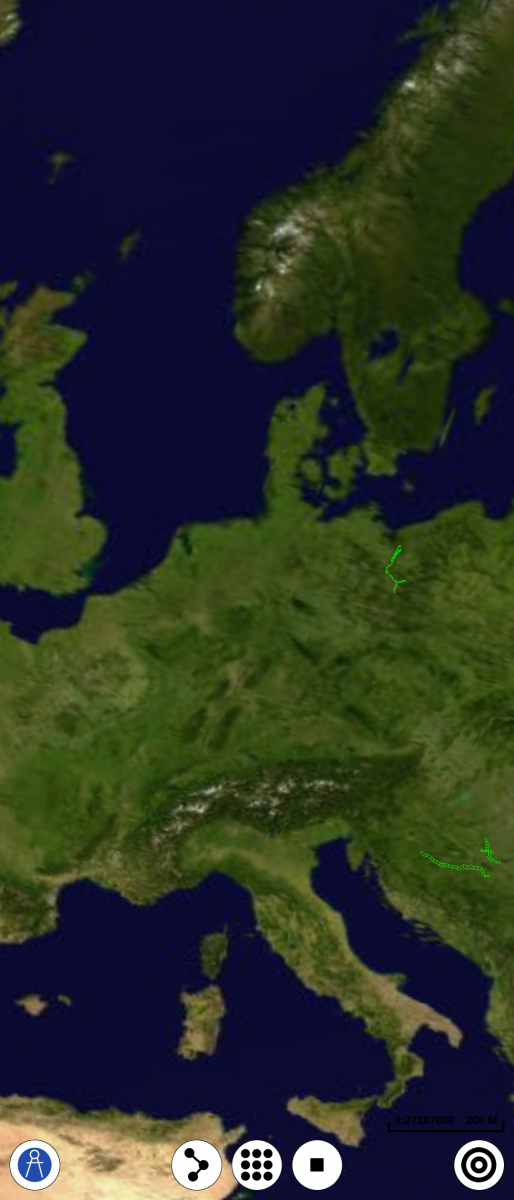
If charts are accepted you should see green squares in place of charts. You must zoom on square marked charts as long as you see charts. It appears on BIG zoom indeed.
PamNor
Mon, 2025/09/15 - 23:37
Permalink
Yes, configured the folder in Chart folders -> Add -> Full update -> Accept. No green square in place of charts. Do I have to wait for green square before Accept?
kan
Mon, 2025/09/15 - 23:54
Permalink
No, green squares shows(as you can see on the first screenshot) only shows scanned and recognized charts.
Which arch do you use aarch64 or armv7hl? I am using aarch64 version on X10II and have tested free vector charts downlooaded via OpenCPN and well known vector charts CM93v2. All are working. If you are using aarch64 then it looks like there is something wrong with your charts. I would start with testing other free charts and then testing your CM93 charts in desktop OpenCPN.
PamNor
Tue, 2025/09/16 - 01:00
Permalink
Using on Xperia IV 5.0.0.68 aarch64. Also downloaded Catalog OSM World basemap - All OSM basemaps. Folder OSMSHP chart. Both charts ( CM93 and OSM basemaps) works on OpenCPN 5.12. Win11. No charts in "Chartsets". Maybe the CM93 chart i have is not CM93v2 but older. I don't know.
kan
Tue, 2025/09/16 - 08:45
Permalink
OSMSHP basemaps do not work for me as well in Qutenav. It looks like they are not vector ones. Please use European Inland Waterways in S57 format. They are free and small enough for quick test.
PamNor
Tue, 2025/09/16 - 21:12
Permalink
I downloaded a newer CM93 chart, possible CM93v2 from 2015. Now QuteNav is working. Thanks for a great app.
kan
Tue, 2025/09/16 - 22:06
Permalink
All kudos to Jukka Sirkka .