
NavIT

Navit is a open source (GPL) car navigation system with routing engine.
It's modular design is capable of using vector maps of various formats for routing and rendering of the displayed map. It's even possible to use multiple maps at a time.
The user interface is designed to work well with touch screen displays. Points of Interest of various formats are displayed on the map.
The current vehicle position is read from gps
The routing engine not only calculates an optimal route to your destination, but also generates directions and even speaks to you.
Navit currently speaks over 70 languages!
For help or more information, please refer to the wiki : http://wiki.navit-project.org
Maps:
The best navigation system is useless without maps. While others are known to work too, the simplest solution is to use OpenStreetMaps by downloading prepared map from the navit planet extractor.
This release is preconfigured to expect a map file at /home/nemo/Documents/map.navit.bin
Older releases up to verion 0.5.6-1 were preconfigured to expect a map file at /home/nemo/Maps/map.navit.bin instead. Move map to newer locatuin if upgrading.
Routing algorithm
NavIt uses a Dijkstra algorithm for routing. The routing starts at the destination by assigning a value to each point directly connected to destination point. The value represents the estimated time needed to pass this distance.
Now the point with the lowest value is choosen using the Fibonacci heap and a value is assigned to connected points whos are unevaluated or whos current value ist greater than the new one.
The search is repeated until the origin is found.
Once the origin is reached, all that needs to be done is to follow the points with the lowest values to the destination.
User configuration
Navit can be fully customized by copying and editing some xml files. Up to version 0.6.6-1, the user configuration directory was configured to be /home/nemo/.navit/ . Due to sandboxing requirements this was changed to be /home/nemo/.config/org.navitproject/navit . The default configuration is located under /usr/share/harbour-navit/ for all versions. Simply copy over the .xml files and start customizing.
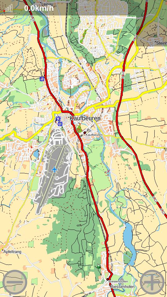
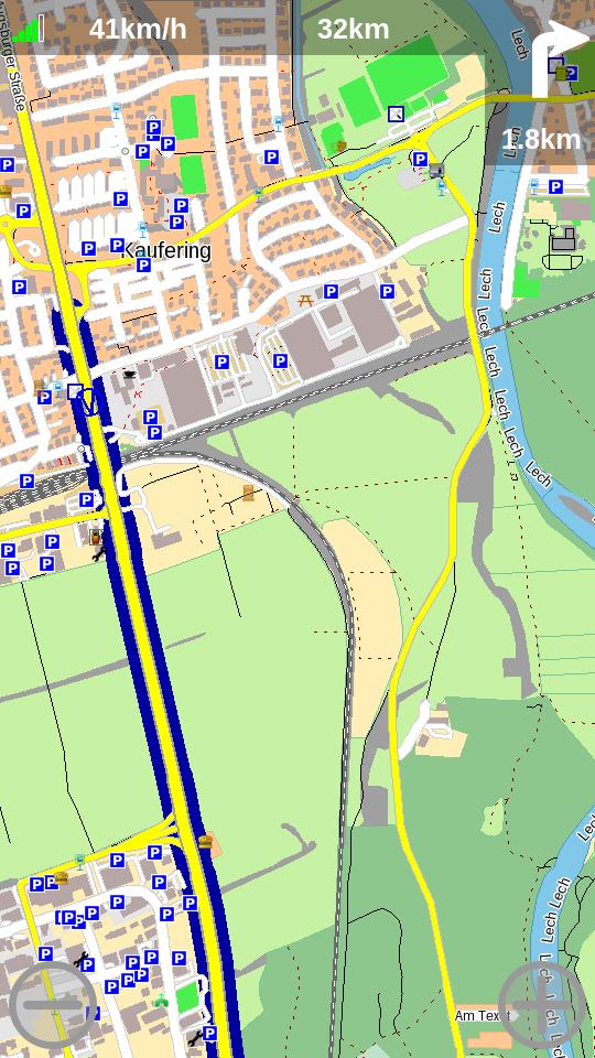
Screenshots:
Category:
Keywords:
Application versions:
| Attachment | Size | Date |
|---|---|---|
| 4.33 MB | 08/05/2017 - 14:14 | |
| 4.36 MB | 08/05/2017 - 14:22 | |
| 4.92 MB | 21/06/2017 - 23:50 | |
| 4.95 MB | 21/06/2017 - 23:50 | |
| 5.43 MB | 02/10/2018 - 01:04 | |
| 5.46 MB | 02/10/2018 - 01:04 | |
| 5.47 MB | 29/04/2021 - 17:15 | |
| 5.49 MB | 24/05/2022 - 16:50 | |
| 5.47 MB | 24/05/2022 - 16:50 | |
| 5.66 MB | 04/05/2025 - 22:05 | |
| 5.62 MB | 04/05/2025 - 22:05 | |
| 5.62 MB | 21/02/2026 - 22:42 | |
| 5.69 MB | 21/02/2026 - 22:42 |
Changelog:
Hello Navitters,
Great news: Navit 0.5.7 is out now.
If you want to know what has changed see the Changelog at: https://github.com/navit-gps/navit/blob/v0.5.7/CHANGELOG.md
Please report issues at https://github.com/navit-gps/navit/issues/new/choose
The documentation can be found at https://navit.readthedocs.io/en/trunk/index.html
Happy routing!
Comments
metalstrolch
Tue, 2017/05/09 - 23:40
Permalink
Navit cannot load yor map.
Please check permissions of the map file. You can copy the sample map from /usr/share/harbour-navit/maps to ensure map is right. (sample shows munic, germany) Additional check /usr/share/harbour-navit/navit.xml for mapset tag. Looks as if youve got a typo here.
Caballlero
Wed, 2017/05/10 - 00:23
Permalink
the map have execution permit , i suspect my map is broken. I think that navit need update all maps.
paolomi
Wed, 2017/05/10 - 09:52
Permalink
@Caballero
download the map again! I've download 3 times, because the map wasn't fully downloaded and the server doesn't support resume (wget -c doesn't work), so you have to restart download. And check that is fully downloaded.
paolomi
Tue, 2017/05/09 - 14:11
Permalink
many thanks for navit! :) is it really gtk+ user interface?
by the way, there is a little error in navit.xml:
/usr/share/navit/maps/osm_bbox_11.3,47.9,11.7,48.2.bin
should be
/usr/share/harbour-navit/maps/osm_bbox_11.3,47.9,11.7,48.2.bin
metalstrolch
Tue, 2017/05/09 - 18:26
Permalink
The Sailfish version is using NavIT's internal GUI on a QML Qt5 graphics backend. It does not have any dependencies to gtk+. In fact this version has only one dependency that is forbidden in Harbour: libfreetype.
Of course NavIT could have a GTK gui, but not for Sailfish.
Thanks for the hint about the config error. I'll fix that in the next release. At the moment the NavIT project is refurbishing the configuration in general, so stay tuned.
paolomi
Wed, 2017/05/10 - 09:45
Permalink
many thanks for the explanation :)
By the way, the page "interactive help" has been deleted, then fix the description above, remove "If you don't know where to start, we recommend you to read the Interactive Help : http://wiki.navit-project.org/index.php/Interactive_help "
MooCrumpus
Tue, 2017/05/09 - 11:15
Permalink
Does it match with OSM Scout Server's maps?
metalstrolch
Tue, 2017/05/09 - 12:42
Permalink
No, NavIT is not tile based and therefore not compatible to OSM Scout. But it does not need internet connection for routing either, NavIT uses mostly its own binary vector map format processed out of OSM data. You can download preprocessed maps from Navit Planet Extractor.
NavIT can use some other map formats as well. See NavIT home page
ferlanero
Mon, 2017/05/08 - 15:27
Permalink
Thank you for this release! In which folder do we have to place the downloaded maps to NavIT recognizes them? Thank you!
metalstrolch
Mon, 2017/05/08 - 15:39
Permalink
It is preconfigured for ~/Maps/map.navit.bin but you can change by copying /usr/share/harbour-navit/navit.xml into ~/.navit/ and adapting the mapset tags.
ferlanero
Mon, 2017/05/08 - 17:00
Permalink
Thank you very much! Works great in a OnePlus X Sailfish port! Thumbs up!
Pages