
OSM Scout

OSM Scout for Sailfish is map viewer with search and navigation, fully functional without internet connection.
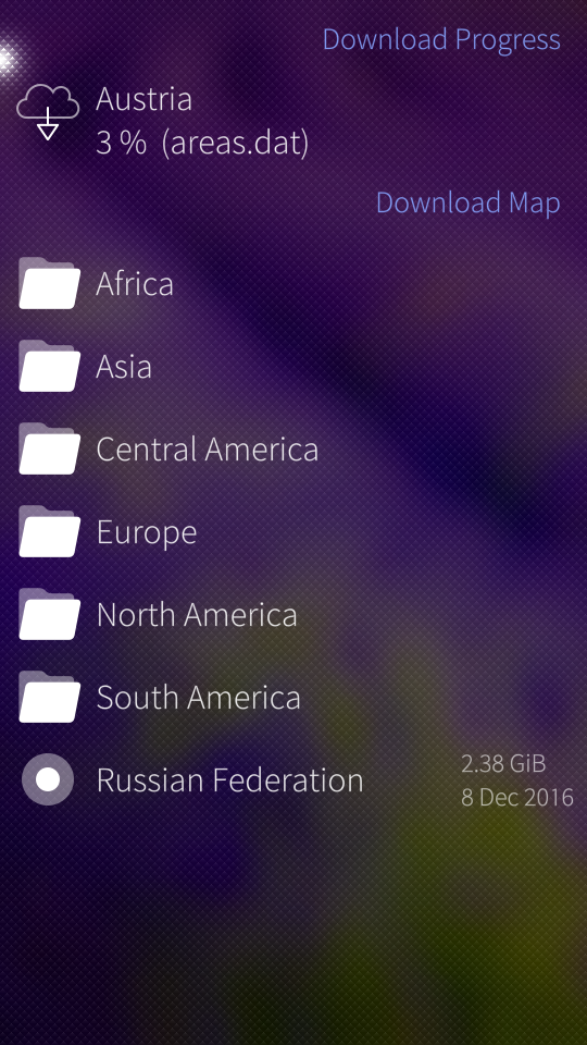
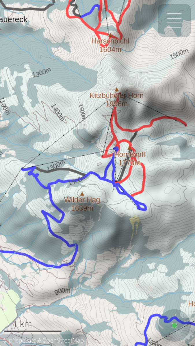
You can choose one from multiple map styles: standard, outdoor, public transport or winter sports. All with the same database that can be downloaded (per state) directly from the application for offline usage. Data on the server covers whole planet and are updated monthly from OpenStreetMap data. You can generate your own extract eventually, all tools are open-source and OpenStreetMap data are free!
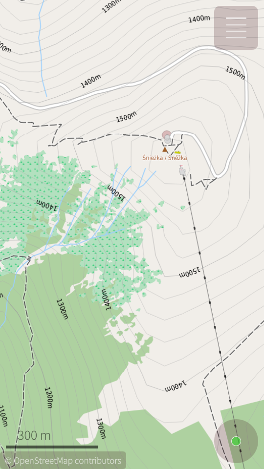
For better outdoor experience, databases (almost all) contains elevation contours and hillshade overlay (online) can be displayed. For areas not covered by offline data are used online maps provided by OpenStreetMap or Stamen Design. But search and navigation works only with offline data.
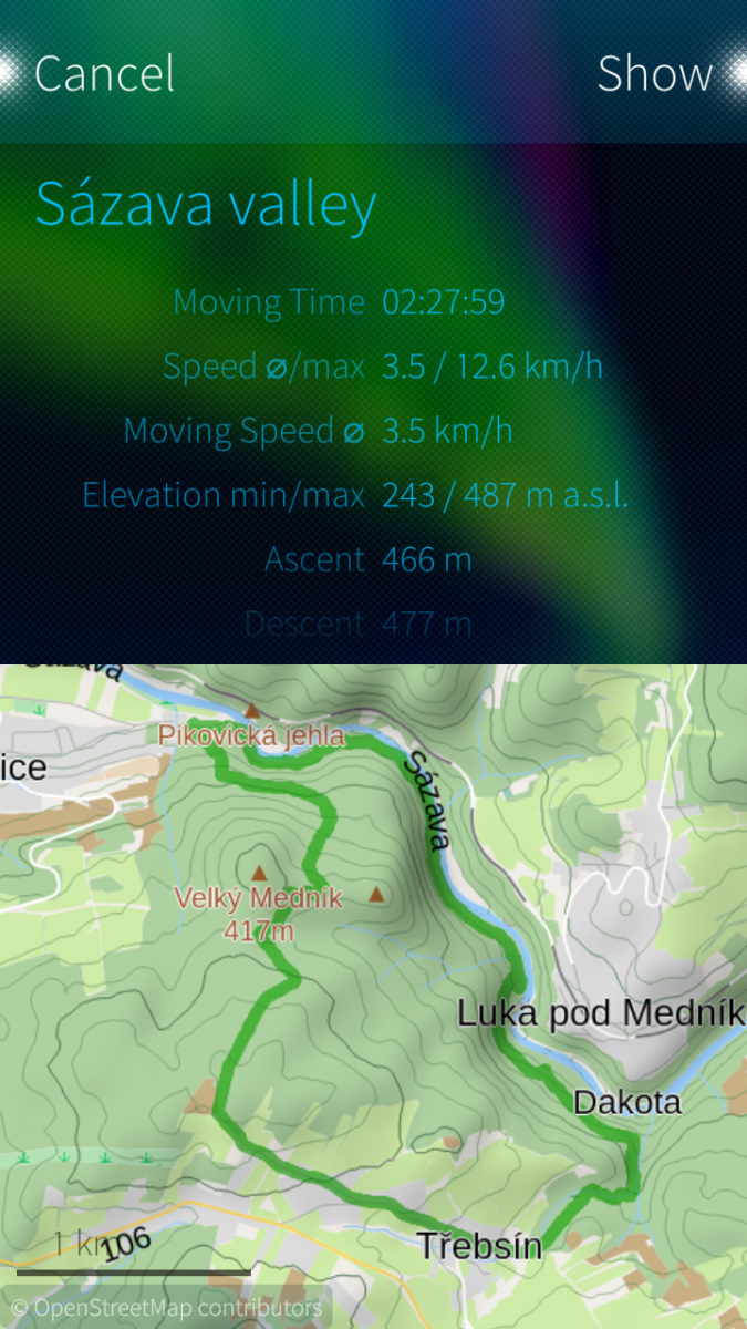
Your favourite places (waypoints) can be stored to collections and exported to GPX files later. It is even possible to import tracks and waypoints from GPX files, display it on map or show simple statistics.
OSM Scout for Sailfish OS is developed as open-source (GitHub) by volunteers in their free time. You can help to improve this application by reporting bugs, creating translations or developing new features. Any help is welcome.
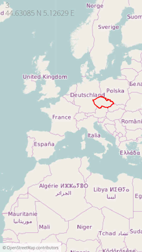
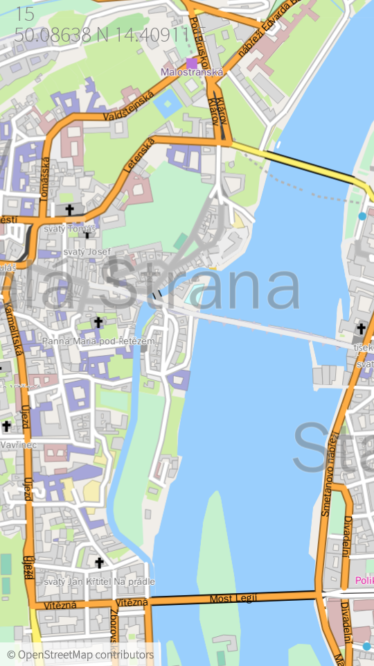
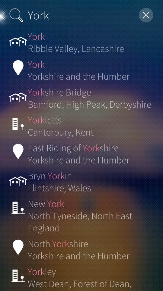
Screenshots:
Category:
Keywords:
Application versions:
| Attachment | Size | Date |
|---|---|---|
| 2.34 MB | 18/12/2025 - 02:30 | |
| 2.28 MB | 18/12/2025 - 02:30 | |
| 2.24 MB | 18/12/2025 - 02:30 | |
| 2.93 MB | 23/02/2026 - 01:47 | |
| 2.86 MB | 23/02/2026 - 01:47 | |
| 2.82 MB | 23/02/2026 - 01:47 | |
| 3.75 MB | 26/05/2026 - 23:52 | |
| 3.85 MB | 26/05/2026 - 23:52 | |
| 3.79 MB | 26/05/2026 - 23:52 |
Changelog:
* 2026-05-24 v2.43
- fix regression: render overlay objects even when offline map is disabled
- search in basemap, it allow to search country names or capital cities even in case that specific map is not downloaded
- fix daylight switch, when some area patterns do not update its colors
- fix: loading missing route data on stylesheet change
Full changelog on Github
Comments
Karry
Wed, 2020/07/15 - 21:27
Permalink
Hi. You are welcome :-)
1) Right now, it is possible to show just whole collection. Just click to "star" icon in collection view. There is ticket (on github) for displaying individual tracks, but it is not on my short-term todo list...
2) right now, it is not possible. Map is rotated just during navigation to route direction. It would not be hard to implement it, but again, my priorities are different now.
Right now, I want to focus for rendering of route relations (hiking and cycling routes). But I would accept merge requests with these features of course :-)
I hope that I answer your questions.
ezameht
Thu, 2020/07/16 - 13:43
Permalink
Hi. Thanks for the quick reply! I find it very usefull for orientation during hiking to see where i went (current recording gpx track) and to see the compass. Modrana and maep support these features but map rendering and usability are way better in OSM Scout. This is just my feedback. Thanks again for your work.
zipotron
Wed, 2020/06/24 - 11:14
Permalink
Dude, amazing update! Thanks a lot!
Bramba
Tue, 2020/05/12 - 01:25
Permalink
Is this a feature-rich alternative to Pure Maps, or more like a complement when already using Pure Maps?
atlochowski
Tue, 2020/05/12 - 14:31
Permalink
I can answer as a user. If I need offline navigation I'm choosing OSMScout. The same for tracking or following track I prefer OSMScout.
For car navigation, I usually choose Pure maps.
For sure both apps are good.
Try and decide by yourself.
Karry
Tue, 2020/05/12 - 08:39
Permalink
I believe that it is good alternative :-) Pure Maps are using different renderer, it is faster usually and using cloud services for routing. So navigation may be more reliable. OSM Scout tries to be independent on cloud services, allows you to work fully offline without additional packages. And its map styles provides more details for outdoor activities like hiking or cycling...
Just try it.
zipotron
Fri, 2020/04/10 - 14:34
Permalink
Hi again, I just want to suggest small improvement, I notice that OsmScout just shows the speed when you are or in navigation or recording a track, also, another handicap is, you must to start tracking just for know your altitude (and delete the track after check). Also export waypoints to .gpx (as you can do with tracks) can be niceI hope my considerations have been useful.Thanks
zipotron
Sat, 2020/03/28 - 09:46
Permalink
Hi dude! Thanks a lot for that amazing app! Just a consideration, I miss in navegation to know the distance left, also could be nice to add in configuration the posibility of show altitude .
Thanks a lot!
Karry
Sat, 2020/03/28 - 19:01
Permalink
Hi. Thank you for that words. ETA (estimation time of arrival) and remaining distance to the target is displayed on the detail page when you tap to navigation panel on the top of main screen...
Question is where to display altitude and when? Right now, it is displayed just on tracker...
zipotron
Tue, 2020/03/31 - 19:18
Permalink
Hi! yes, right, but to have it just down the speed... and altitude also... well, I know some people could prefer dont have that much numbers in the screen, but to have the posibility of customize the screen information could be nice.
Also, as a traveler I miss waypoints, now I use for that the tracker, but really miss to have collections of waypoints.
Again thanks a lot for this amazing app
Karry
Tue, 2020/03/31 - 20:54
Permalink
I would prefer clean screen with map and minimum elements. But I have nothing against configurable choices. I created issue with this idea: https://github.com/Karry/osmscout-sailfish/issues/210
To waypoints, it is possible already. Just long-press on some place (or choose "Where I am?" in menu) and then click to the star button.
zipotron
Wed, 2020/04/01 - 09:02
Permalink
This is really the last, add the posibility of export waypoints as there is in tracks, is usefull for document travels.Thanks!
zipotron
Tue, 2020/03/31 - 22:15
Permalink
Oh, true, didn't know, thanks, and thanks for create the issue. Last consideration and promise don't do more, contour lines in offline maps, really useful in mountains.
Karry
Wed, 2020/04/01 - 09:48
Permalink
For majority of countries, contour lines are imported:
https://openrepos.net/sites/default/files/packages/7612/screenshot-b1ed8...
But it is true that contour lines are skipped for some huge countries like China, India, Canada... Its generating is expensive... What country you have in mind?
zipotron
Fri, 2020/04/03 - 07:38
Permalink
I am spinish living in Tanzania, I found contour lines just in Spain but not in Tanzania. Really thanks!
Karry
Fri, 2020/04/10 - 23:30
Permalink
For most of African countries, adding of contours lines means huge (percentage) increase in size. When I import Tanzania's OSM data, it has 390 MiB. With contour lines that has 3 degree seconds resolution and 20 meters spacing, I get 560 MiB.
So I was worried that for most users is that size impact too high just for contour lines. But there is no technical limitation, so lets add it :-)
zipotron
Tue, 2020/04/14 - 09:56
Permalink
Thanks a lot! Just a curiosity, it's not possible to have bought version in the map repository, with and without lines?
Karry
Tue, 2020/04/14 - 10:15
Permalink
Of course, it is possible. But it would require few changes in application to make selection intuitive, map updates fill be slower and it will require more space on the server... It is not priority for me right now.
kif
Fri, 2020/02/07 - 16:48
Permalink
Hi Karry
I have recently dropped Monav for OSM scout, as most features I was missing in Monav are in OSM scout, but I have one problem:
My phones language is English (UK) but as I'm in Europe I need distances in kilometers.
Is there anywhere I can change the distance measurement? I have been unable to finde any.
/Kim
Karry
Mon, 2020/02/10 - 09:48
Permalink
Of course. Units can be changed in Settings. Which version you are using? Did you tried it? Is there any part of application that don't respect manual setting?
kif
Wed, 2020/02/12 - 11:09
Permalink
Hi Karry
You are of course right, I was looking in map settigns.
I have found it now, in settings. Sorry.
Thanks.
pba
Thu, 2020/01/23 - 23:26
Permalink
Perfect now. Thank you for this fast fix.
eson
Thu, 2020/01/23 - 17:40
Permalink
Would it be possible to draw the tracking line a bit thinner? I think it covers to much of the map as is.
Karry
Fri, 2020/01/24 - 12:11
Permalink
It is true. And you are second one who is complaining :-) It will be thinner for lower zoom levels in next release... See https://github.com/Karry/osmscout-sailfish/commit/b80910d4e28ba5c9d2a0f3...
Btw, map stylesheets are written declarively, you find it at /usr/share/harbour-osmscout/map-styles/ and you may experiment with it ;-)
eson
Sat, 2020/01/25 - 23:08
Permalink
Thanks! I will try playing with it. :)
pba
Thu, 2020/01/23 - 01:24
Permalink
Hi Karry, the offline maps you are distributing for greece are lacking some textures: In current version the northern part of the country is shown blue like the ocean, but i can see all streets and places when i zoom in. Same happend with Peloponnes in the version before (december). I'm planing a bicycle trip to greece and love your program for scouting and tracking.
Karry
Thu, 2020/01/23 - 12:30
Permalink
Thank you for report! I have no capacity to verify all maps after import. Such coastline errors are caused by errors in OpenStreetMap data usually. I will re-import Greece from recent data ASAP and will see if this error is fixed already...
Karry
Thu, 2020/01/23 - 14:18
Permalink
Seems to be fine now. Just update your maps ;-)
Pemek
Mon, 2020/01/13 - 17:44
Permalink
Thanks, that's how I do it now, but sometimes I forget...
Karry
Wed, 2020/01/15 - 22:31
Permalink
I just finished search history today, it will be part of the next release :-)
Pages