
Poor Maps

Poor Maps is in minimal maintenance mode. Please try the successor WhoGo Maps, which is under active development and should be better for most users.
Poor Maps is an application for Sailfish OS to display tiled maps (e.g. OpenStreetMap), places and routes with a flexible selection of data and service providers.
Offline maps, search and routing is possible with OSM Scout Server. Poor Maps will list OSM Scout Server among the providers if you have it installed. For it work, you'll also need to have the server running and a map database on your device. See the OSM Scout Server documentation for details.
Voice navigation requires that you manually install a text-to-speech (TTS) engine – Mimic, Flite, PicoTTS and Espeak are supported, Their quality is about in that order, with Mimic being best and Espeak being worst, but their language and gender coverage varies.
Source code and issue tracker are available at GitHub. Translations at Transifex. Discussion at TMO.
Donations appreciated: paypal.me/otsaloma
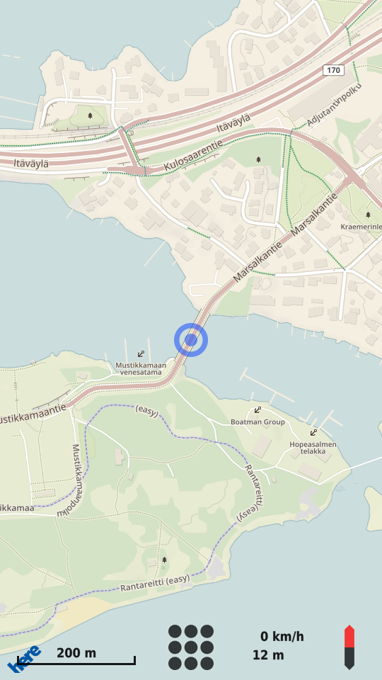
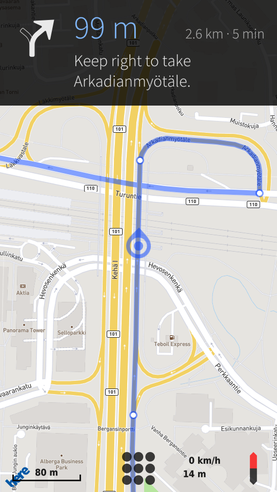
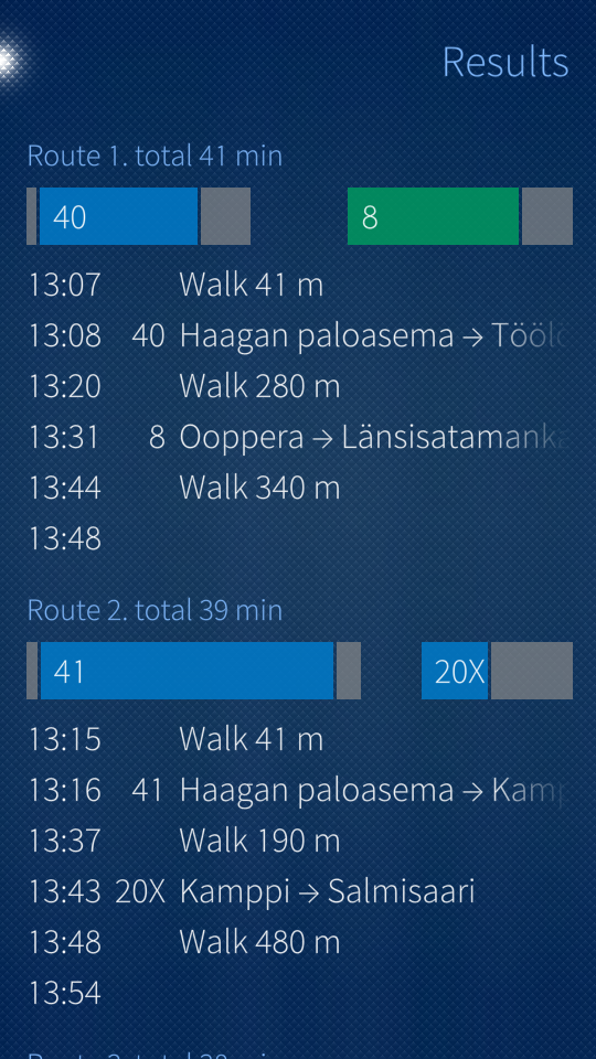
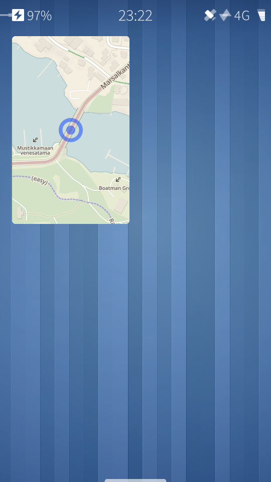
Screenshots:


Category:
Keywords:
Application versions:
| Attachment | Size | Date |
|---|---|---|
| 433.88 KB | 26/08/2017 - 18:44 | |
| 433.57 KB | 26/09/2017 - 22:46 | |
| 451.18 KB | 24/12/2017 - 04:37 | |
| 456.11 KB | 06/01/2018 - 22:08 | |
| 463.68 KB | 18/02/2018 - 20:47 | |
| 462.25 KB | 02/04/2018 - 19:08 |
Comments
Ingvix
Tue, 2017/10/24 - 08:19
Permalink
Oh, I see. Thanks for the notice again.
I seem to act too soon a lot and not investigate enough. First I tried to clone the the repository with the SDK and when that didn't go properly I noticed it doesn't have .pro file and the description said to use make to build it and I just moved the just cloned files to my phone. That wasn't a good idea, it seems.
vattuvarg
Sat, 2017/09/02 - 18:58
Permalink
Using native navigation again on my Jolla C thanks to Poor Maps. Very happy.
vattuvarg
Mon, 2017/09/04 - 00:31
Permalink
If the device has a magnetic compass, will the app use it?
otsaloma
Mon, 2017/09/04 - 21:19
Permalink
No.
vattuvarg
Mon, 2017/09/04 - 21:46
Permalink
Will that functionality be available in the future?
otsaloma
Mon, 2017/09/04 - 21:51
Permalink
What's the interest? Is it to rotate the map according to which way you're facing?
vattuvarg
Mon, 2017/09/04 - 22:24
Permalink
A magnetic compass would be handy when standing still.
Rotating the map works pretty well already. The only question I have is why the map rotates around the middle of the screen even when the blue cursor is at the low position (auto-rotate on)?
otsaloma
Mon, 2017/09/04 - 22:35
Permalink
Rotating around the center is a whole lot simpler to do. Maybe the animation looks weird, but it comes out right, right? Also, the position icon is at the bottom when navigating, but otherwise in the center.
vattuvarg
Tue, 2017/09/05 - 00:55
Permalink
I am using Poor Maps daily as my primary navigation tool and combining it with other "vehicle apps" (like FM radio and the HUD speedometer) to form an environment that i call "helm 2.0". The UX of Sailfish OS is well suited for vehicle use so there is very little to change. The home screen works well as a dashboard thanks to the multitasking of the OS and the standardized use of gestures. So with the base in place I'm looking at the individual parts - the apps. Basically it is just a matter of making small adjustments so that the apps form a "matched swarm". So I suggest small changes. Those suggestions are as small as possible because each part should do just one thing, but do it well. Having native navigation is such a wonderful thing, in that context, especially as it is based on open data and processing. Real multitasking allows each app to be cleaner because it is possible to delegate functions to other apps. The navigation app doesn't have to be a compass or weather forecast (or FM radio). If the vehicle needs to measure inclination then another app takes care of that, extending the system. A common "look" calms the home screen view, the "dashboard", but each app has to be optimized for the task and thus be individual. Beauty is nice, but the most important thing is clarity and functionality. The simplistic looks of most sailfish apps is actually an advantage in that sense.
That's why I asked about the magnetic compass. I miss that sensor in my current phone (the Jolla C) but it will be available in my next one (the Xperia X). So the orienteering compass app will be available for my helm again. In Poor Maps the only gain would be when standing still. Turning the map is easy with two fingers, even without the magnetic sensor, but the experience would be at least somewhat richer with it.
Sorry for the long explanation.
otsaloma
Tue, 2017/09/05 - 02:46
Permalink
Compass rotation would be useful, yes, it's just not a priority. Manual two-finger rotation is not likely to be possible until Qt 5.9.
vattuvarg
Tue, 2017/09/05 - 20:48
Permalink
I continue waiting then. Thanks for taking time to reply.
Kabouik
Sat, 2017/08/26 - 21:36
Permalink
Thank you both for the interesting answers on the speed data.
In France, we have different speed limits for rain versus clear sky on high ways, and young vs experienced drivers as well. I suspect there are winter/summer limits as well where I live now, in northern Norway. So this problem would most likely be real in a great number of countries. However, I remember that Waze or Here would always show the highest limit for highways in France, regardless if current weather conditions or driving experience,of course. Yet, I think it was unambiguous for users that they should drive 20 kph slower if it is raining or if they are young drivers. At least there is no ambiguity for state-wide limits like highways, national roads, etc. Real problems may arise for exceptions or small sections of lower limits, where no general rule can be understood by the drivers since the speed limits are decided locally, and it lay be more confusing in case of winter/summer differences.
About the legal matter on speed cameras, is it true for fixed speed cameras as well? Waze (not referring to the information shared by users here) or Here indicate areas of automatic controls, not exact positions, but this is still a useful information to at least make sure you're not 2 kph too fast, and I would assume these two big fish have made sure they don't break laws.
Anyway, thanks again for the answers. There are very valid points too in deciding not to implement speed data if not 100% accurate.
vattuvarg
Sat, 2017/09/02 - 19:21
Permalink
Instead of using just traffic rules for max speed it would be possible to make a suggestion based on weather data (from something like openweathermap). Weather data would be handy when planning longer journeys. Sun rise and set times could also help make travelling safer.
otsaloma
Sat, 2017/08/26 - 18:38
Permalink
Translations should work again with Sailfish OS 2.1.1.26.
Kabouik
Sat, 2017/08/19 - 07:37
Permalink
I'm rediscovering this application that I had not used in a very long time. A shame, really, because it's great. The detailed explanations in the options help a lot, as well as the clear indication of what is default. Really enjoying it now.
Is there a way to monitor speed and trigger an alarm if it exceeds the speed limit of the current street? Wondering if speedcameras are indicated/announced in some of the maps too, but these are two different things.
otsaloma
Sat, 2017/08/19 - 14:54
Permalink
To my knowledge, OpenStreetMap isn't good data for speed limits, it's very incomplete and could be outdated or otherwise wrong. Likely for that reason, I don't see OpenStreetMap-based routers providing speed limits as output. I haven't seen any speed camera data either, but I'm not really familiar with that.
rinigus
Sun, 2017/08/20 - 07:40
Permalink
As far as I remember from using Android OSM apps, speed data is not too bad and can be of assistance.
While speed limits are not provided in routing data directly, its possible to obtain them. Most probably its due to large amount of route segments that you have to include into the routing response making it rather expensive for providers. For Valhalla-powered routers, we can use map matching to get current speed limits (see https://github.com/valhalla/valhalla-docs/blob/master/map-matching/api-r...). I am planning to look into it at some moment making it possible to obtain the speed limit data.
As for speed cameras, there are legal aspects as well. I haven't looked into speed camera coverage and its use.
otsaloma
Sun, 2017/08/20 - 16:07
Permalink
I don't like the idea of mistakenly showing a higher speed limit than what is correct, so I'd be very hesitant to add something that is merely mostly correct. There's also a lot of differences between countries, both in data quality (official data open and imported into OSM?) and speed limit conventions (for example, different summer and winter speed limits in Finland).
rinigus
Sun, 2017/08/20 - 19:35
Permalink
This is a very good and valid point - showing a wrong speed limit is really not a good idea. Over here, we have some roads that have speed limits which are different for summer and winter. In addition, the swap between the limits is done by changing signs and the time of the change is not set in stone, it would depend on the weather. I can see that OSM has maxspeed and maxspeed:conditional for one of the roads that I checked. As for differences in coverage - sure, that could be a problem as well.
But, in general, having ability to get the speed limit and showing it, are different things. I think I saw some apps showing the speed limit sign only when you exceed it. But probably even this can be abused. Map matching has other interesting aspects for us, so I probably look into it in future.
sfbsfb
Thu, 2017/08/17 - 22:26
Permalink
I just biked from Berlin to København navigating with poormaps. It worked great, thanks for your work.
Caballlero
Thu, 2017/07/27 - 21:54
Permalink
PoorMaps - translations not work any more in Jämsänjoki EA
monkeyisland
Mon, 2017/07/24 - 19:06
Permalink
Hi on my device jolla 1 its only English Language. But my device is in German Language. I mean it was translated? I updatet my device to 2.1.1.23
otsaloma
Tue, 2017/07/25 - 17:04
Permalink
Maybe it's about the update after all: https://together.jolla.com/question/164349/release-notes-211-jamsanjoki/...
otsaloma
Mon, 2017/07/24 - 21:28
Permalink
A German German (de_DE) translation is included and should load automatically. There's a comment somewhere below about a Polish translation not loading for someone. It's possible there's a bug in translation loading, but I can't reproduce it. I haven't updated to 2.1.1 myself yet, but that's unlikely to affect this.
eson
Sun, 2017/08/13 - 16:49
Permalink
It's the same for Swedish. Translation don't work. Trying to translate the OSM Scout Server users guide, so I really need a working Poor Maps translation for taking Swedish screen shots.
sfbsfb
Mon, 2017/07/24 - 14:13
Permalink
Looking forward to this. But still a very good app.
sfbsfb
Mon, 2017/07/24 - 01:33
Permalink
Is there a way to import gpx tracks? Would be so useful.
otsaloma
Mon, 2017/07/24 - 02:00
Permalink
Not yet. It's planned, but closer to the back than front of the queue.
https://github.com/otsaloma/poor-maps/issues/27
paolomi
Thu, 2017/03/02 - 18:43
Permalink
HI :) two questions: 1- how can i search a place by "latitude, longitude"? in "search" it doesn't work. 2-and is it possible to call poor maps from a script or an external program to display a given "latitude, longitude" ? sorry for my english, i hope i was clear. Many thanks :)
otsaloma
Thu, 2017/03/02 - 22:34
Permalink
Pages